rochester, NY >
for sale by owner >
household items
Posted 2025-09-01 10:02
Contact Information:
QR Code Link to This Post
post id: 7878174858
posted: 2025-09-01 10:02
♥ best of [?]
refresh the page.
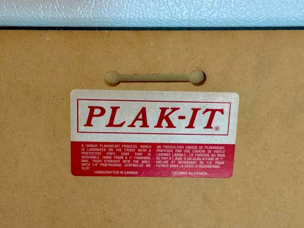
Plak-It dry-mounted 1/8” Masonite board - 1942 historical topographical map of Springwater, NY produced by the U.S. Geological Survey. Shows contour lines, place names, water bodies, and roads.