No shipping. Pick up in Irondequoit.
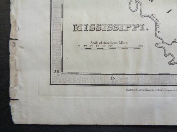
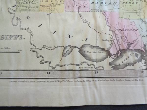
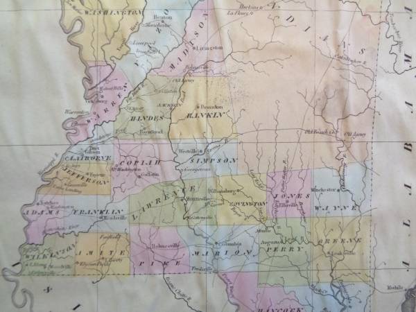
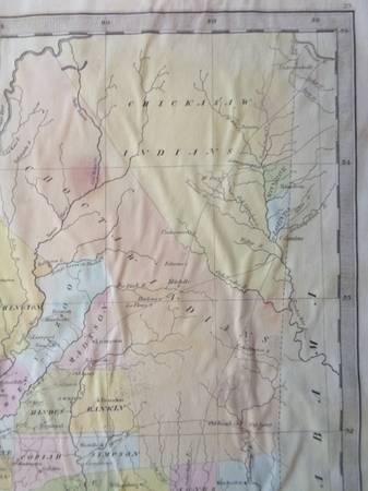
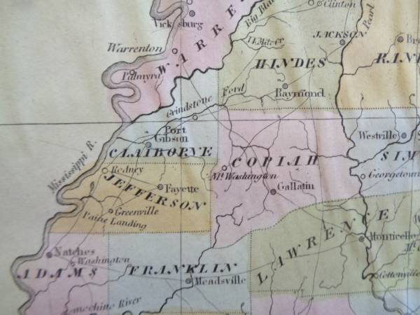
This rare map is page 53 from the book titled "A New Universal Atlas" which was published in 1835/1836.
Cartographer David H. Burr.
Northern part of the map shows the area occupied by the Chickasaw and Choctaw Indians.
This map is 189 years old. Not a reproduction.
Overall size is 12.5" x 15".
Paper is rippled due to moisture and has some soiling.
post id: 7869475870
posted:
updated:
♥ best of
[?]