Title
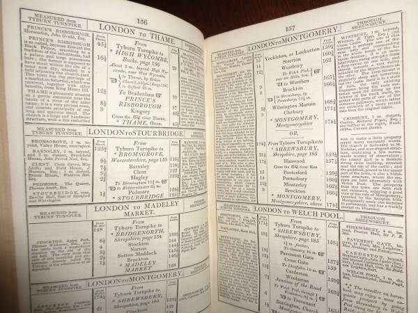
"Paterson's Roads; being an entirely original and accurate description of all the direct and principle cross roads in England and Wales, with part of the roads of Scotland. To which are added topographical sketches of the several cities, market towns, and remarkable villages; and descriptive accounts of the principle seats of the nobility and gentry, the antiquities, natural curiosities, and other remarkable objects throughout the kingdom: The whole, remodelled, augmented, and improved, by the addition of numerous new roads and new admeasurements, and arranged upon a plan at once novel, clear, and intelligible, is deduced from the latest and best authorities: including a table of the heights of mountains from the grand trigonometrical survey of the kingdom; also a table of the population, from the census of 1821; to which is annexed the arrival and departure of the mail, together with the rates of postage; and an entirely new set of maps."
By Edward Mogg
18th edition. 841 total pages.
Printed in 1829 by C. J. C. and F. Rivington, and others, London
Book size 5 1/2 x 8 1/4 inches.
No missing maps or pages.
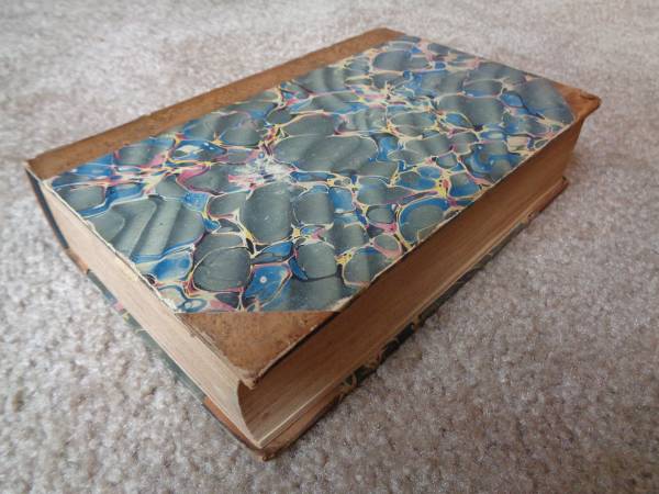
Entire book and all 10 maps are in excellent condition.
Map 1) General map of the roads of England and Wales
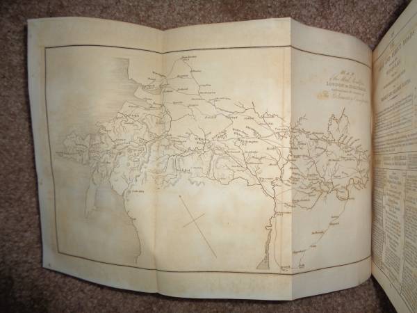
Map 2) Map of the mail road from London to Holyhead
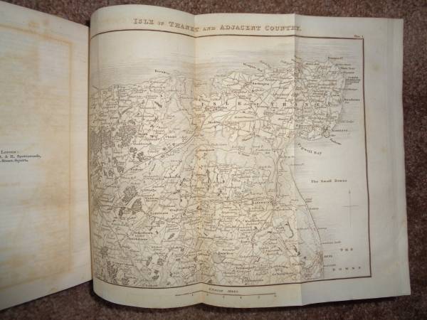
Map 3) Isle of Thanet
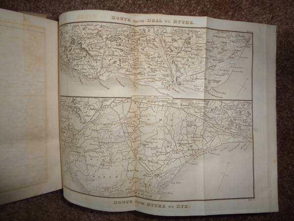
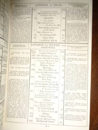
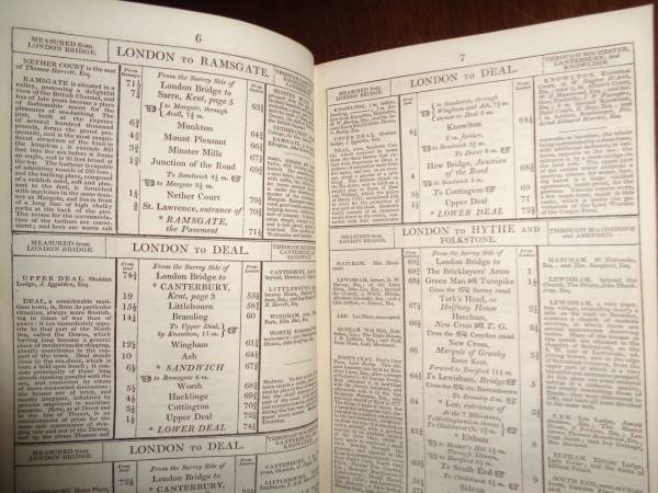
Map 4) Route from Deal to Hythe/Route from Hythe to Rye
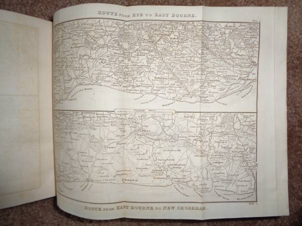
Map 5) Route from Rye to East Bourne/Route from East Bourne to New Shoreham
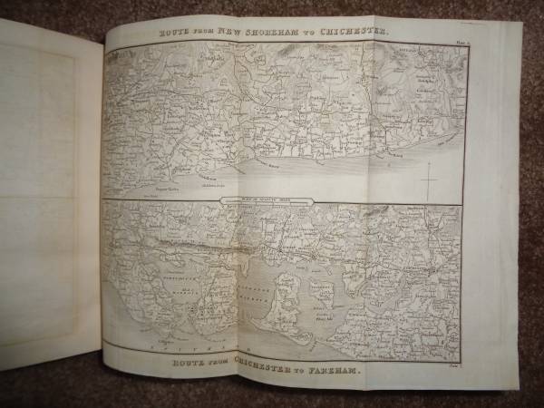
Map 6) Route from New Shoreham to Chichester/Route from Chichester to Fareham
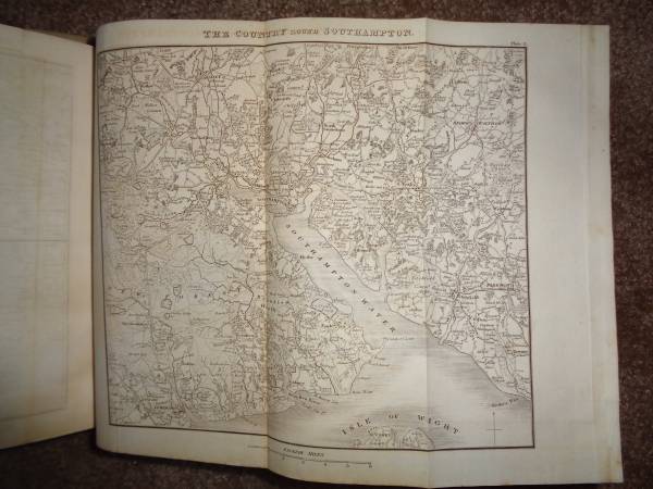
Map 7) The country round Southampton
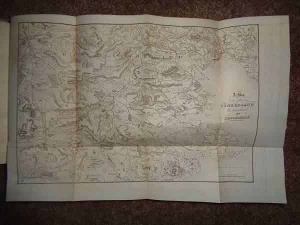
Map 8) A map of the lakes of Cumberland Westmorland and Lancashire
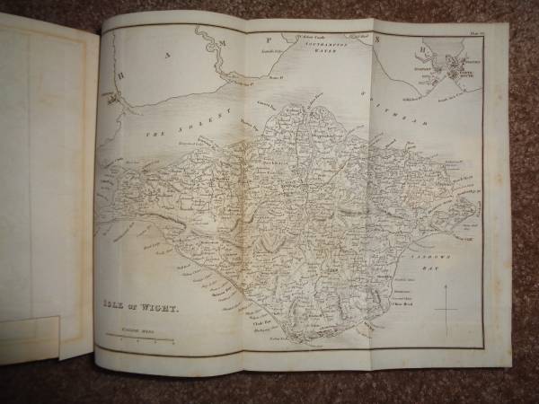
Map 9) Isle of Wight
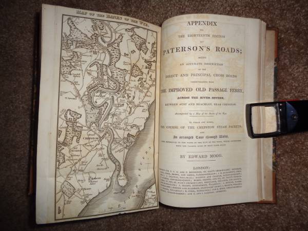
Map 10) Map of the banks of the Wye
A fine example of what British travelers would use in the early 1800's.